Quick Navigation
- How Long Does It Take to Walk Around the Isle of Man?
- How long does it take to walk around the Isle of Man?
- What the Raad ny Foillan Is
- The Terrain, and Which Parts Are Hardest
- A Stage Plan by Overnight Town
- Millennium Way, Herring Road and the Glens
- The Best Individual Day Walks
- Port St Mary to Port Erin, round the Sound
- Bradda Head from Port Erin
- Maughold Head from Ramsey
- Niarbyl to Peel
- Langness from Castletown
- Ballure and Albert Tower from Ramsey
- Peel's heritage strolls
- Snaefell from the Bungalow
- Waymarking, Weather, Sheep and Getting Back
- Maps, Apps and Guidebooks
- Where to Sleep on the Way Round
- Frequently Asked Questions
- How long is the Isle of Man coastal path?
- Can you walk all the way around the Isle of Man?
- Which is the hardest section of the Isle of Man coastal path?
- Do you need a tent to walk the Raad ny Foillan?
- What is the best time of year to walk the Isle of Man coastal path?
The Isle of Man's coastal path, the Raad ny Foillan, is roughly 95 miles long and takes most walkers five to eight days to complete. It is a circular route from Douglas, so there is no logistics problem at either end, and you can sleep in a proper bed in a town almost every night.
The short answer
- Length: 95 miles. The Isle of Man Government's own figure for the Raad ny Foillan, though other guidebooks put it nearer 100.
- Time: 5 to 8 days. Five days at a fast pace; most walkers take seven or eight to actually enjoy it.
- Hardest stage: Port Erin to Peel. About 16 miles, climbing over Cronk ny Arrey Laa at 1,434 feet with no food or water to rely on along the way.
- The route: a complete loop from Douglas. It starts and finishes at the Millennium Bridge and is dated to 1986.
- Wet-weather backup: 18 National Glens line the route, each a short, sheltered walk with a river when the weather turns.

How Long Does It Take to Walk Around the Isle of Man?
Five days if you are fit and travelling light. Seven or eight if you want to enjoy it, which is what most people do. Two weeks if you are walking it in day sections from a fixed base in Douglas, where the buses and both heritage railways start, and using buses to get back, which is the least stressful way to do it and the way locals tend to suggest.
The published mileage is not quite as settled as you would expect, and it is more useful to say so than to invent a precise figure. The Isle of Man Government's own coastal walk guidance describes "a distance of approximately 95 miles", and Cicerone's guidebook Walking on the Isle of Man gives "the epic 153km (95 mile) Raad ny Foillan". The long-running Manx compendium A Manx Notebook, which describes the route section by section, agrees at "some 95 miles long" and adds that it "can be walked in 5 days though you might want to allow a bit longer".
Other descriptions put it a little over 100 miles, and the section distances themselves are explicitly approximate. Take 95 to 100 miles as the honest answer and plan on the higher number.
For a sense of the outer limit, the self-supported fastest known time for the full circuit is 21 hours, 21 minutes and 25 seconds, set by Orran Smith in October 2020. That is a useful calibration rather than a target: it tells you the route is continuous and navigable, and that everything slower than a day is a matter of choice.
What the Raad ny Foillan Is
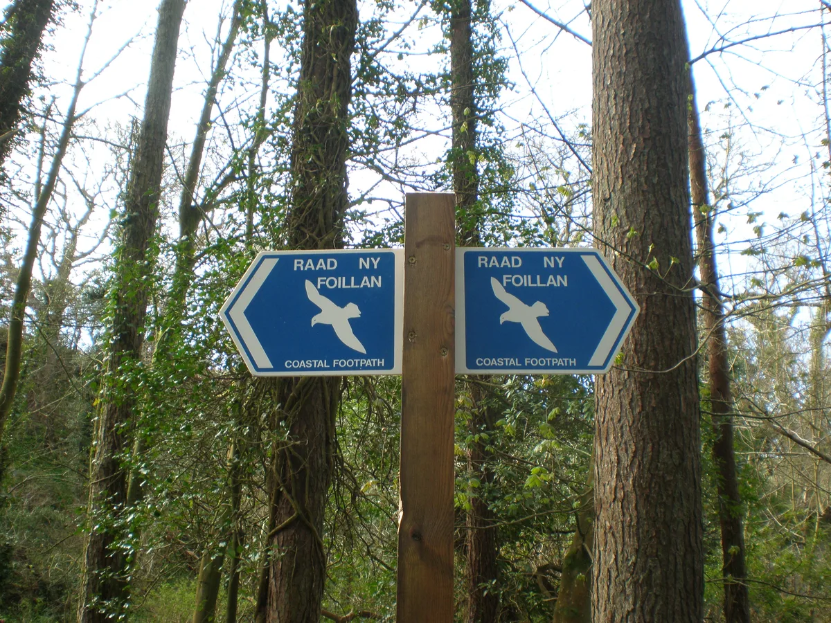
Raad ny Foillan is Manx for "the Way of the Gull", and the waymark is a gull symbol. It starts and finishes at the Millennium Bridge over Douglas Harbour and makes a complete loop of the Manx coast, so you can walk it in either direction. It is usually dated to 1986, when it was opened to mark the island's Heritage Year, though the idea is a great deal older: A Manx Notebook points out that a guidebook writer proposed a coastal circuit as far back as 1874.
Which direction you choose matters less than the weather. One long-standing local argument for going clockwise on the west coast and anti-clockwise up the east from Castletown is simply that the wind and rain generally come from the west, and walking with the weather behind you is a different day out from walking into it.
Planning your trip
Staying overnight? Compare live prices and availability across the Isle of Man on Booking.com.
Compare Isle of Man staysWe earn a small commission if you book through this link, at no extra cost to you.
The Terrain, and Which Parts Are Hardest
This is not a uniform cliff path. It changes character several times, and the hard days are not where first-time walkers expect.
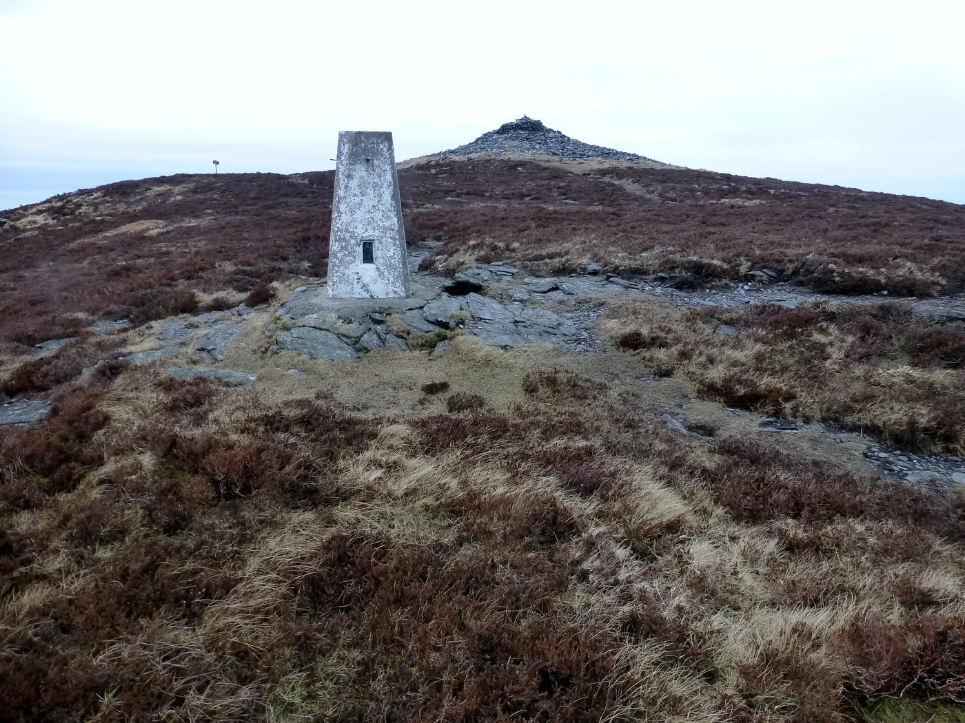
The one section with extensive climbing is Port Erin to Peel. After Fleshwick the path leaves the shoreline and climbs to over 900 feet, then ascends Cronk ny Arrey Laa at 1,434 feet, then drops and climbs back to around 500 feet before Dalby. There is no refreshment to count on along the whole stretch, and the café at Niarbyl is currently closed for refurbishment, so carry everything you need. In good weather it is the finest walking on the island. In bad weather it is a serious day.
The genuinely tiring sections are flat. From Bishopscourt in the north-west the route drops onto the shoreline and stays there until Ramsey, and walking on soft sand is slow while walking on pebbles is slower still, especially into a headwind. The long shingle stretch from the Point of Ayre down to Ramsey is the one most walkers name as the least rewarding part of the whole circuit. Budget time by effort, not by distance.
Elsewhere you get old railway trackbed, which is fast and level, between Peel and Kirk Michael and on north from there. You get some road walking, notably the two miles shared with the coast road at Strandhall and the stretch from Fairy Cottage to Baldrine, which is busy. And you get one river crossing at the Cronk where you should expect to get your feet wet after a wet spell.
A Stage Plan by Overnight Town
This is a clockwise circuit from Douglas, built around towns that have beds rather than around equal mileages. Distances are the approximate section figures from the standard description and should be treated as a guide, not a measurement.
| Day | Stage | Roughly | What it is like | Sleep at |
|---|---|---|---|---|
| 1 | Douglas to Castletown | 13 miles | Douglas Head, Marine Drive, Santon Head, then the neck of the Langness peninsula and Castletown Bay | Castletown |
| 2 | Castletown to Port Erin | 12 miles | Limestone shore past Scarlett, Bay ny Carrickey, then the cliffs at the Chasms, Spanish Head and the Sound | Port Erin |
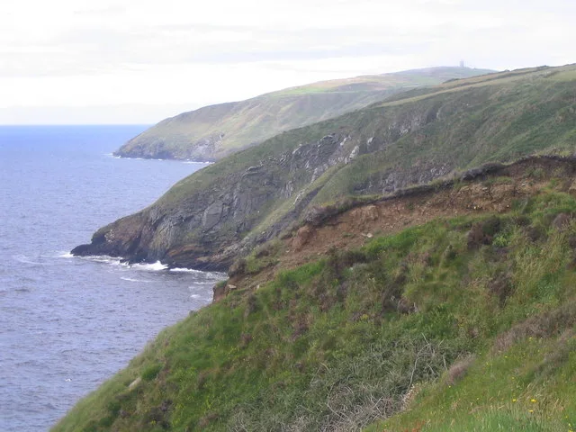
| 3 | Port Erin to Peel | 16 miles | The hard one. Bradda Head, Fleshwick, Cronk ny Arrey Laa, Niarbyl, Glen Maye and Corrin's Tower | Peel |
| 4 | Peel to Jurby | 14 miles | Old railway trackbed via Glen Mooar and Glen Wyllin to Kirk Michael, then shoreline under the crumbling Orrisdale Head | Kirk Michael or Jurby |
| 5 | Jurby to the Point of Ayre | 15 miles | Flat, remote and beautiful in its own way, past the Ayres nature reserve to the lighthouse. Carry your own supplies | Bride, or bus on to Ramsey |
| 6 | Point of Ayre to Ramsey | 7 miles | Pebble beach for most of it, and slow going, until the town comes into view past Dog Mills | Ramsey |
| 7 | Ramsey to Laxey | 13 miles | Cliff tops to Maughold Head, then inland through Ballaglass Glen and Glen Mona above the electric railway | Laxey |
| 8 | Laxey to Douglas | 9 miles | Shoreline to Garwick Bay, Old St Lonan's, Groudle Glen and the cliff edge at Onchan Head | Back where you started |
Compressing it to five days means merging days one and two, and taking the whole flat northern run from Jurby to Ramsey in one push of about 22 miles. Stretching it is easier: split day three at Dalby, and give yourself a rest day in a self-catering base in Peel before the north.
Two honest warnings about beds. The north-west between Kirk Michael and Ramsey is the thin part; A Manx Notebook is blunt that the section from near Jurby round the Point of Ayre to Ramsey is isolated and you will need to carry supplies. And you cannot rely on finding food on the stage from Port Erin to Peel. Everywhere else you are within reach of a town: book a night in Ramsey at the northern end or find accommodation in Castletown, both comfortable staging posts with more than one option.
Millennium Way, Herring Road and the Glens
The coastal path is not the only waymarked route. The Millennium Way runs across the middle of the island between Castletown and Ramsey, and even the official figures for its length differ: the Department of Infrastructure lists it at 26 miles and Visit Isle of Man at about 23. Either way, that makes it the obvious way to cut the loop in half or to combine a coastal leg with an inland one.
Bayr ny Skeddan, the Herring Road, is a 14-mile crossing from Castletown to Peel following the route Manx fishermen once used, climbing over the Round Table near South Barrule at around 1,020 feet and dropping through Glen Rushen to Glen Maye, where it joins the coastal path.
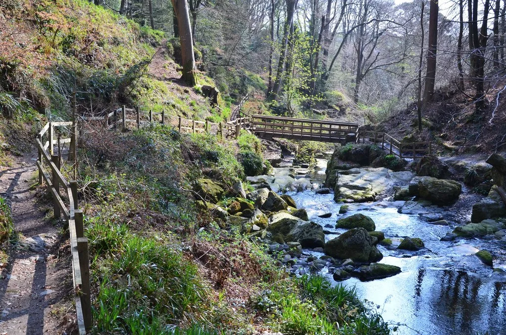
Then there are the Manx National Glens, which are the island's secret weapon on a wet afternoon. There are 18 of them, wooded valleys running inland from the coast, maintained by the government's Department of Environment, Food and Agriculture. Glen Maye, Dhoon Glen, Groudle Glen, Ballaglass Glen and Laxey Glen all sit on or beside the coastal path, and each gives you a short, shaded, low-effort walk with a river and usually a waterfall.
The Best Individual Day Walks
Port St Mary to Port Erin, round the Sound
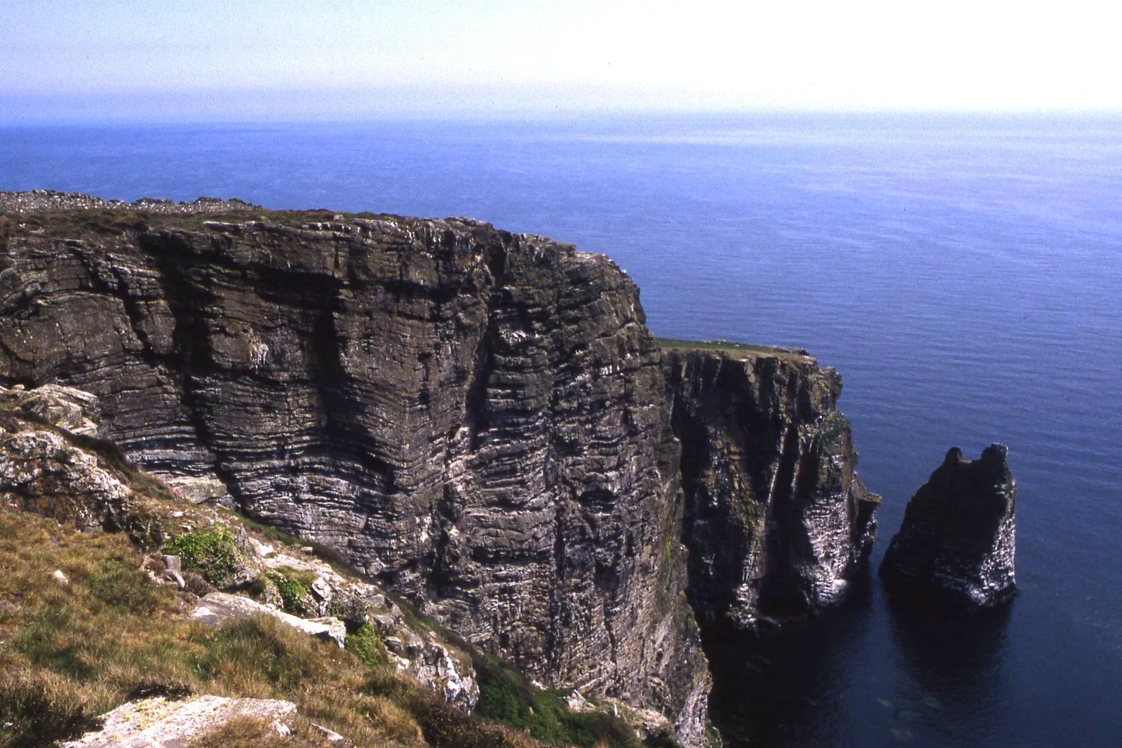
Five miles of the most spectacular cliff scenery on the island, past the Chasms and the Sugarloaf, round Black Head and Spanish Head, with the Calf of Man opening up ahead and the tide race running through the Sound below. The cliffs here are a breeding ground for thousands of seabirds. Add the open-air museum at Cregneash and it is a full and easy day.
Bradda Head from Port Erin
The short version of the island's hardest stage. Climb out of Port Erin to Milner's Tower, follow the head round for the sea views, and turn back before Fleshwick. At midsummer the sun sets behind Bradda Head as seen from Port Erin, which is worth timing for.
Maughold Head from Ramsey
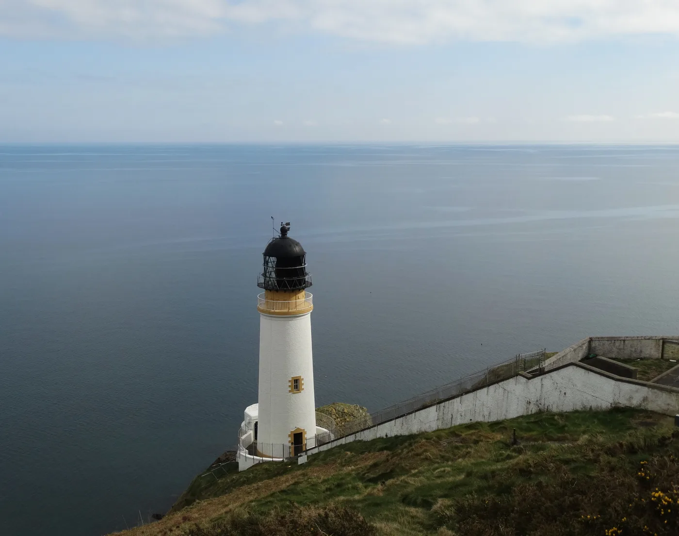
Five miles along the brooghs from Port-e-Vullen, with fine cliff views back over Ramsey Bay and a lighthouse built halfway down the cliff face. The churchyard at Maughold sits on the site of a Celtic monastery and holds a collection of Celtic and Norse crosses under a purpose-built shelter. On most days your companions will be sheep.
Niarbyl to Peel
The gentler half of the big western stage. Coast and cliff from the Niarbyl headland through Glen Maye, then along the shore below Corrin's Tower, the folly on the hill above Peel, and down into the town. It ends at a beach, a castle and somewhere to eat, which is the right shape for a day walk.
Langness from Castletown
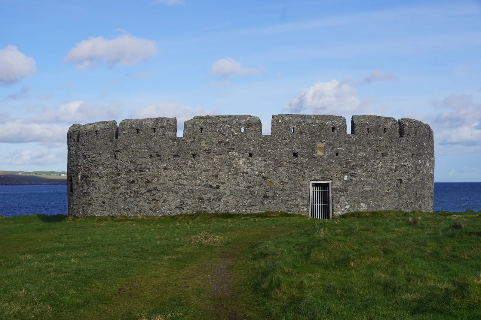
An easy coastal walk in the south. Visit Isle of Man's railway ramble from Castletown station is a leisurely circuit of about seven miles out to the Langness peninsula and back. On the way you pass St Michael's Isle, reached by a causeway, with its 12th-century chapel and Derby Fort, built in 1645 during the English Civil War. The Herring Tower and the lighthouse stand at the southern tip.
For something shorter, the same site's walk around Castletown itself is mostly flat, takes about an hour, and covers the harbour, Castle Rushen and the view across the bay from Hango Hill.
Ballure and Albert Tower from Ramsey
A shorter alternative to Maughold Head. Visit Isle of Man's Ballure and Albert Tower circuit starts and finishes at Ramsey station on the Manx Electric Railway and covers about three and a half miles through Ballure plantation and open countryside. It is graded moderate, steep in places and can be muddy, with the view from Albert Tower as the payoff.
The route guide also warns that the Mountain Road must not be crossed while it is closed for racing, which is worth remembering in a race week.
Peel's heritage strolls
Peel suits short loops rather than one long day. Peel Heritage Trust has written four town walks, which Visit Isle of Man publishes as downloadable route sheets. Each takes between 45 minutes and two hours, and between them they cover:
- the quays and the town's fishing history
- the shops and seafront
- a short quayside loop
- a clifftop stroll past Peel's Victorian visitor sights
For more height, the coast path out of town climbs Peel Hill towards Corrin's Tower, the folly on its summit.
Snaefell from the Bungalow
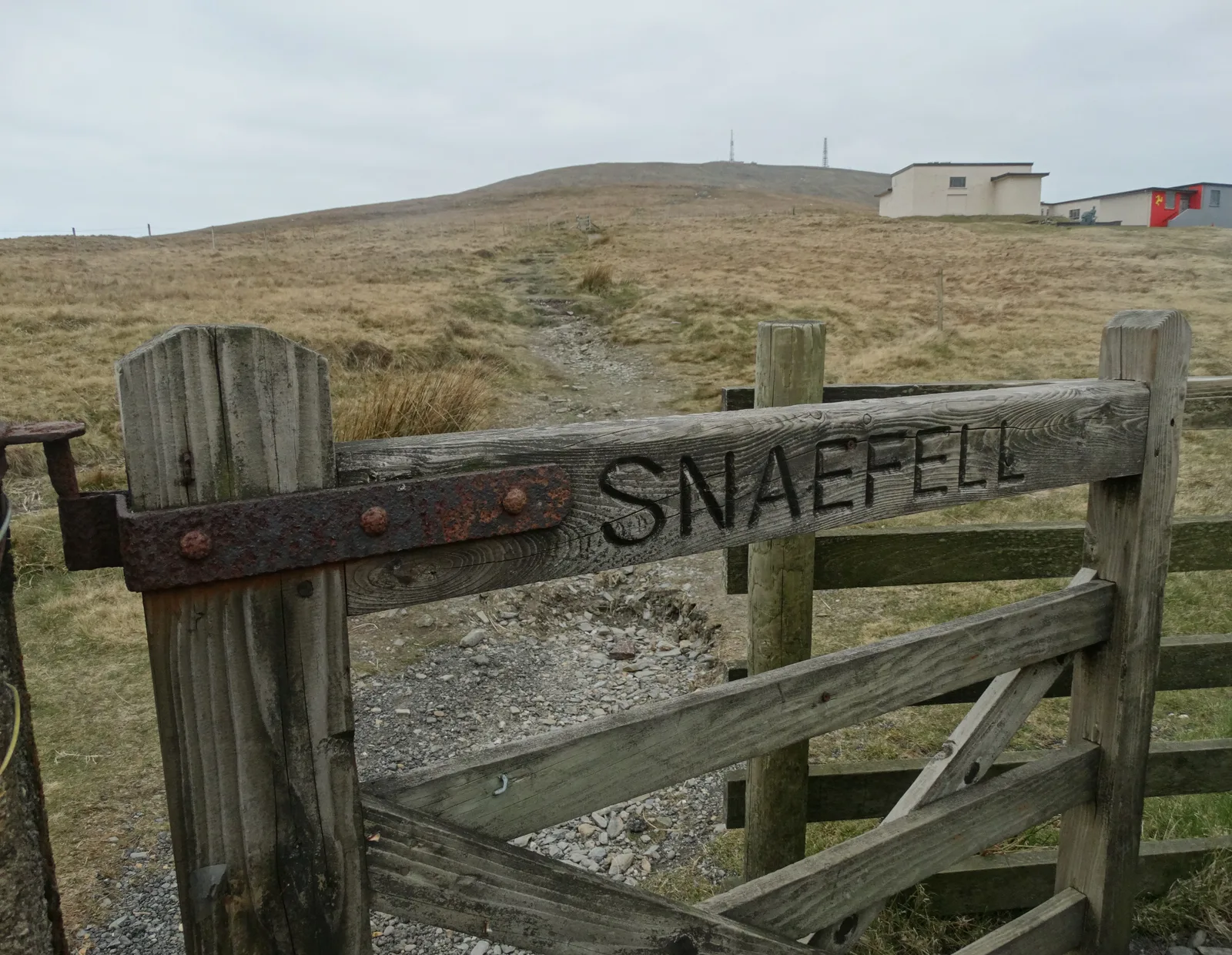
Not on the coastal path at all, but the one everyone asks about. Snaefell is 2,037 feet and the only summit on the island above 2,000 feet, and the walk up from the car park by the Bungalow station on the Mountain Road is short. The mountain railway climbs the four and a half miles from Laxey to the summit and runs seasonally rather than all year, so check current running days with the operator before you plan a walk up and a ride down.
Waymarking, Weather, Sheep and Getting Back
The gull waymarks are good and in most sections the line of the path is obvious, but carry a map anyway. There are stretches where one is essential, and there is a lot on this coast that you will walk straight past without it.
Weather here is local rather than national. The north and the south of the island frequently do entirely different things on the same morning, and it is normal to leave Douglas in drizzle and reach Ramsey in sunshine. Long-term figures for the island give an average of 9 to 11 days of rain a month from April through August, so pack for wet even in summer. The north is generally drier and can be windier.
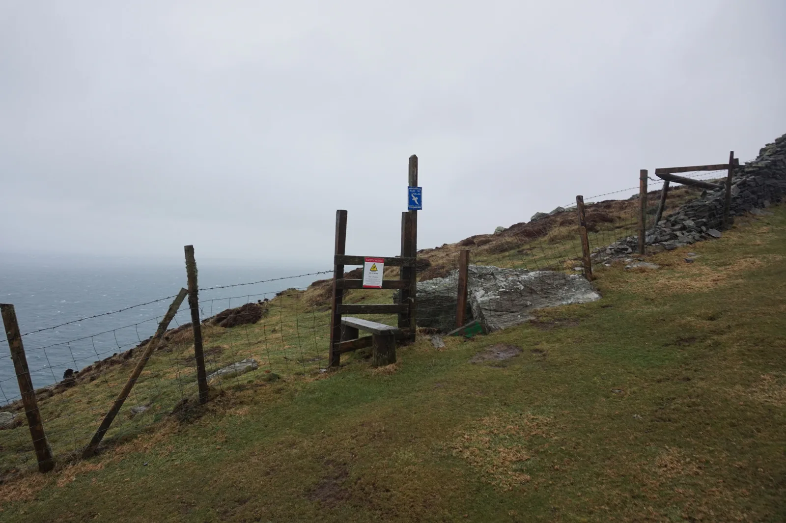
You will cross a lot of grazing land, so gates, stiles and sheep are constant, and dogs need to be on a lead near livestock. Water is the other thing to plan: outside the towns there is very little, and on the Port Erin to Peel stage and the northern shore there is none at all.
Getting back to your car is the part people underestimate, and it is also the argument for walking in sections. The stage ends listed above are served by buses, but the services to the Point of Ayre and Maughold are very restricted and Jurby is the least frequent of the rest.
The Manx Electric Railway shadows the coast between Douglas, Laxey and Ramsey and the steam railway serves the south, which makes both useful for one-way walks, but several of these lines run seasonally. Check current running days directly with the operator rather than assuming, and have a fallback for a Sunday.
Maps, Apps and Guidebooks
Much of the planning material for this walk is free.
- Visit Isle of Man. The island's tourism body offers a downloadable Raad ny Foillan Coastal Footpath Guide on its brochures and guides page, alongside a shorter walking guide. Online it also splits the path into twelve sections, each with its distance, and most of the section pages link to the route plotted on Ordnance Survey's OS Maps.
- The government's route maps. Its own coastal walk pages divide the route into four areas with waypoints and a map for each, and offer an official 1:25,000 guide map as a download. Read their caveat before leaning on them: the section maps are meant as a visual guide rather than a navigational aid, and the waypoints are not for navigation without the relevant maps.
- A paper map. The Department of Infrastructure, the government's official mapping body, publishes the Isle of Man Outdoor Leisure Map, which shows footpaths, areas open for walking and points of scenic, natural and historical interest across two double-sided sheets. Its leisure mapping page names the online stockists and says the map is also sold at the Isle of Man Welcome Centre and in local shops. To check whether a path is a legal right of way, the department's public rights of way page links to the definitive map online.
- A guidebook. Cicerone's Walking on the Isle of Man by Terry Marsh is now in its third edition, published in May 2023 in print and as an ebook. It describes 40 walks of between one and fourteen miles, each with an Ordnance Survey map extract, and summarises the longer waymarked routes, the coastal path among them.
Where to Sleep on the Way Round
The circuit works best as a chain of towns, and that is also what makes it an easy holiday to book. Castletown, Port Erin, Peel, Ramsey and Laxey each sit at a natural day's end, and Douglas closes the loop. If you would rather not move every night, a two-centre split between Douglas and Ramsey covers the transport problem better than any single base, because it halves the time spent travelling to the northern stages.
Whichever way you do it, book the nights in the thin north-west first and fill in the rest afterwards. You can compare self-catering and hotels island-wide town by town, and if you would rather spend your week at sea level, our guide to the island's beaches and coastline covers the same shoreline from the other direction.
Frequently Asked Questions
How long does it take to walk around the Isle of Man?
About five days at a fast pace, and seven or eight for most walkers. A Manx Notebook's section-by-section description says the route "can be walked in 5 days though you might want to allow a bit longer". Walking it in day sections from a fixed base, using buses and railways to return, typically spreads it across a fortnight.
How long is the Isle of Man coastal path?
Roughly 95 miles, or 153 kilometres, which is the Isle of Man Government's figure, and the one Cicerone's guidebook and A Manx Notebook also give. Some other published descriptions put it a little over 100 miles, and the individual section distances are stated as approximate, so plan on 95 to 100 miles rather than a precise number.
Can you walk all the way around the Isle of Man?
Yes. The Raad ny Foillan is a complete circular loop of the Manx coast, starting and finishing at the Millennium Bridge over Douglas Harbour, and it can be walked in either direction. It dates from the mid-1980s and is waymarked throughout with a gull symbol.
Which is the hardest section of the Isle of Man coastal path?
Port Erin to Peel, about 16 miles, is the only stage with extensive climbing. After Fleshwick the path rises above 900 feet, crosses Cronk ny Arrey Laa at 1,434 feet and climbs again before Dalby, with no food or water to rely on along the way, since the café at Niarbyl is closed for refurbishment. The flat pebble sections in the north are tiring in a different way.
Do you need a tent to walk the Raad ny Foillan?
No. For most of the route you are within easy reach of accommodation and food in a town, which is what makes this circuit unusually comfortable for its length. The exception is the northern stretch from near Jurby round the Point of Ayre to Ramsey, which is isolated and where you should carry supplies.
What is the best time of year to walk the Isle of Man coastal path?
Late spring and early autumn suit it best, when the days are long and the seabird cliffs are busy without the summer traffic. Rainfall on the island averages 9 to 11 wet days a month from April through August, so waterproofs matter in any season, and exposed cliff sections are best avoided in a strong wind.