
Quick Navigation
- What the Manx Coastline Is Actually Like
- Port Erin, Port St Mary and the Southern Bays
- Port Erin
- Port St Mary and Chapel Bay
- The Sound and the Calf of Man
- Bay ny Carrickey and Gansey
- Castletown Bay and Derbyhaven
- Peel, Fenella Beach and Niarbyl
- Peel
- Fenella Beach
- Niarbyl
- Douglas, Port Soderick and Laxey
- Douglas Bay
- Port Soderick
- Laxey
- Ramsey, the Ayres and the Point of Ayre
- Ramsey and the Mooragh
- The Ayres
- The Point of Ayre
- The Beaches, Side by Side
- Tides, Currents and Cold Water
- The Beach Rules Change From Beach to Beach
- Picking a Coastal Base
- Frequently Asked Questions
- Does the Isle of Man have sandy beaches?
- Which is the best beach on the Isle of Man?
- Can you swim in the sea at the Isle of Man?
- Where can you see seals on the Isle of Man?
- Which side of the Isle of Man has the best weather for the beach?
The best beaches on the Isle of Man are Port Erin, Peel and Ramsey: Port Erin for the best all-round swim in a sand bay sheltered between two headlands, Peel for a town beach beneath a castle with the best sunset on the island, and Ramsey for the longest stretch of empty sand. Douglas, the capital, also has two miles of proper sand on its doorstep. Beyond the four town beaches, the coast runs to shingle coves, rock pools and dune, and outside summer weekends you will often have a whole bay to yourself.
The short answer
- Best all-rounder. Port Erin is a sand bay enclosed by two headlands and reached directly by the steam railway.
- Best sunset town beach. Peel faces due west beneath the red sandstone walls of Peel Castle.
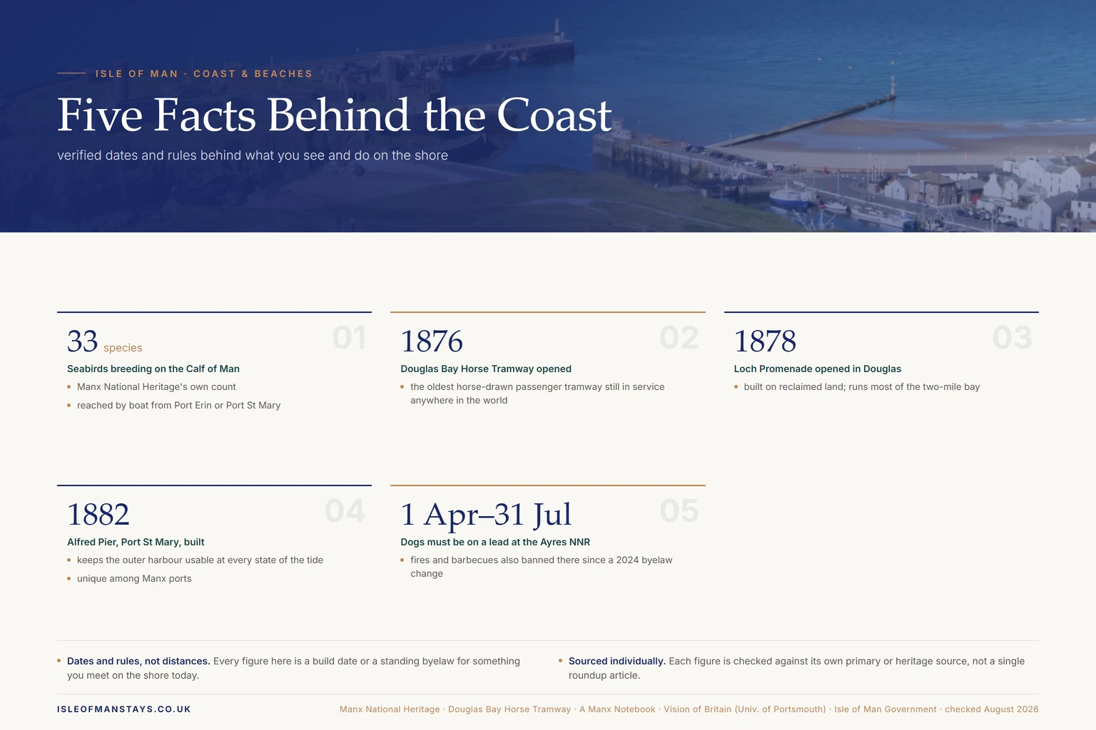
- Longest sand. Douglas Bay runs for two miles along Loch Promenade, opened in 1878.
- Wildlife stop. Around 33 species of seabird breed on the Calf of Man, reached by boat from Port Erin or Port St Mary.
- Dog rules vary by town. Douglas has allowed dogs on its whole beach year-round since a trial began in August 2026; Peel, Port Erin, Port St Mary and Laxey keep seasonal restrictions running through to September.
- Currents to respect. The Sound and the Point of Ayre both carry strong currents; stick to the enclosed town bays for swimming.
What the Manx Coastline Is Actually Like
The island is small enough to drive across in under an hour, so it is easy to assume the coast is all of a piece. It is not, and knowing which coast does what saves you a wasted afternoon.
The south-west is the dramatic one: high cliffs, seabird colonies, a tidal strait and two of the best sand beaches. The west faces the sunset and gets the weather, with a long town beach at Peel and a rocky, spectacular stretch below the hills. The east is the sheltered, developed side, where the towns and the railways are. The north is flat, wide and mostly empty, running out to dunes and shingle at the island's northern tip.
Because those coasts face different ways, a wind that ruins one beach makes another perfect. If it is blowing hard from the west, go east.
Port Erin, Port St Mary and the Southern Bays
Port Erin
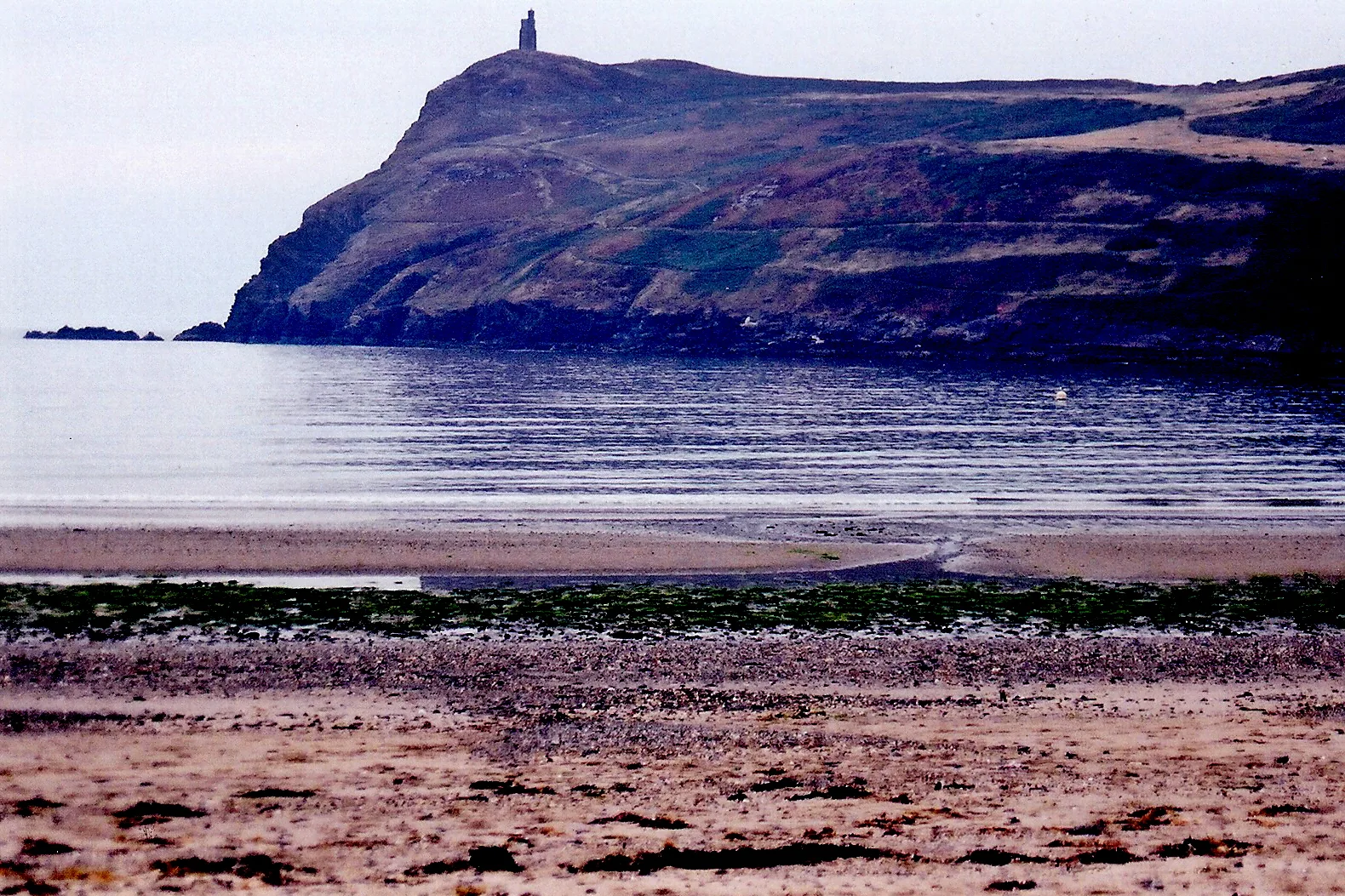
The best all-round beach on the island. It is a west-facing bay of clean sand held between two headlands, and the enclosing arms of land mean it acts as a suntrap on windy days, even though the same shape funnels a westerly straight into the village on a rough one. Bradda Head rises to the north with Milner's Tower on top, a key-shaped folly built for a locksmith and reachable only on foot.
The dislodged blocks near the headland are the remains of a breakwater begun in 1863 and destroyed by a storm in 1884. The steam railway terminates here, which makes it one of the few beaches on the island you can reach without a car, and the choice of places to stay in Port Erin is unusually good for a settlement of its size.
Port St Mary and Chapel Bay
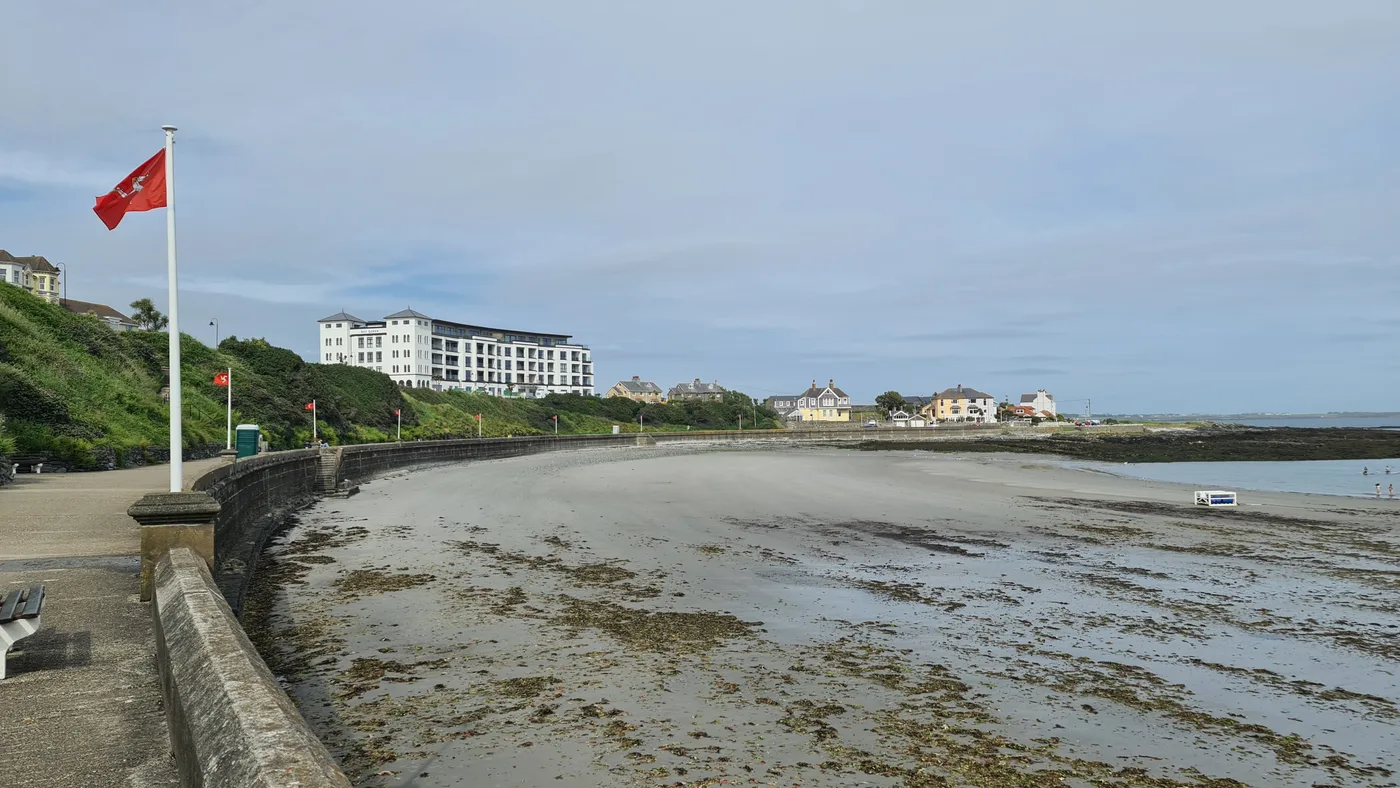
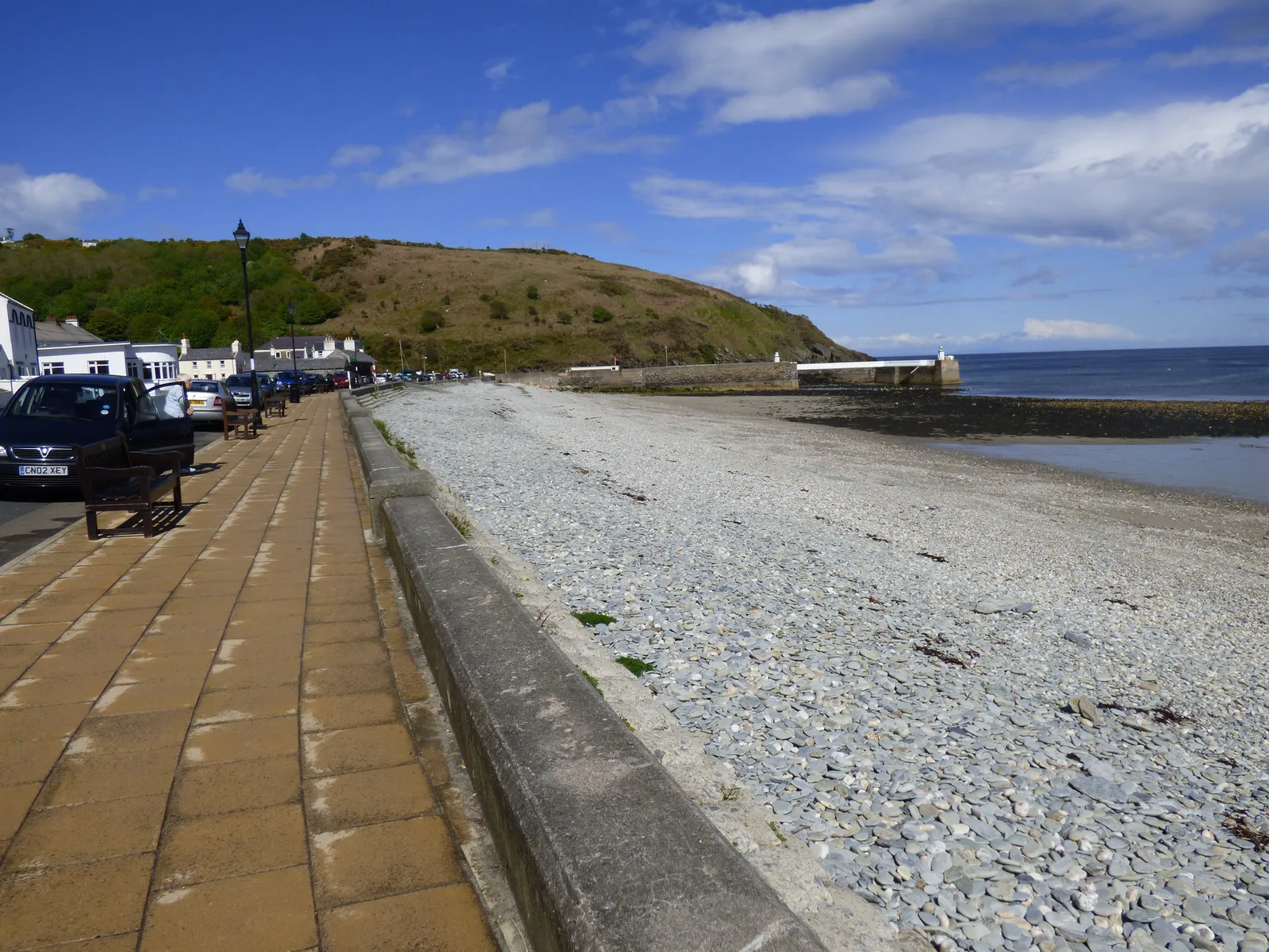
Round the headland from Port Erin and a completely different mood. Chapel Bay is the sandy beach at the north end of the village, used for swimming through the summer, and it faces away from the prevailing weather. The working harbour is the other draw: the inner harbour dries out from half tide, but the Alfred Pier of 1882 keeps the outer harbour usable at every state of the tide, which is unique among Manx ports.
This is the quieter of the two southern villages to stay in, and the better one if you want boats rather than buckets and spades.
The Sound and the Calf of Man
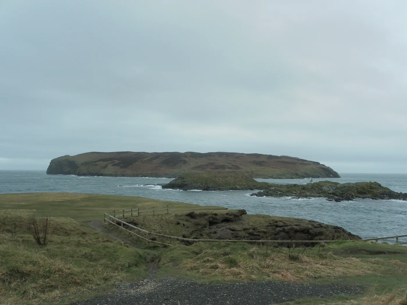
The southern tip stops at a strait about half a mile wide, with the Calf of Man on the far side and the islet of Kitterland in the middle. You come for the spectacle: seals on the rocks, the tide race, and the cliffs of Spanish Head and the Chasms behind you. Manx National Heritage says around 33 species of seabird breed on the Calf, and small boats run across from Port Erin and Port St Mary. Our guide to the Calf covers who actually staffs it and how to book a crossing.
It is not a beach and you should not treat it as one. The water running through the Sound carries fierce currents that have caught out mariners for centuries, and A Manx Notebook's account of this coast is worth reading before you go near the edge with children.
Bay ny Carrickey and Gansey
East of Port St Mary the coast opens into a broad, shallow bay that the main road runs along for a couple of miles. This is a low rocky shore backed by limestone country rather than a beach in the bucket-and-spade sense. The black "marble" once popular for Victorian fireplaces was quarried at Poyllvaaish on this shoreline, and a small marble business still operates there.
Castletown Bay and Derbyhaven
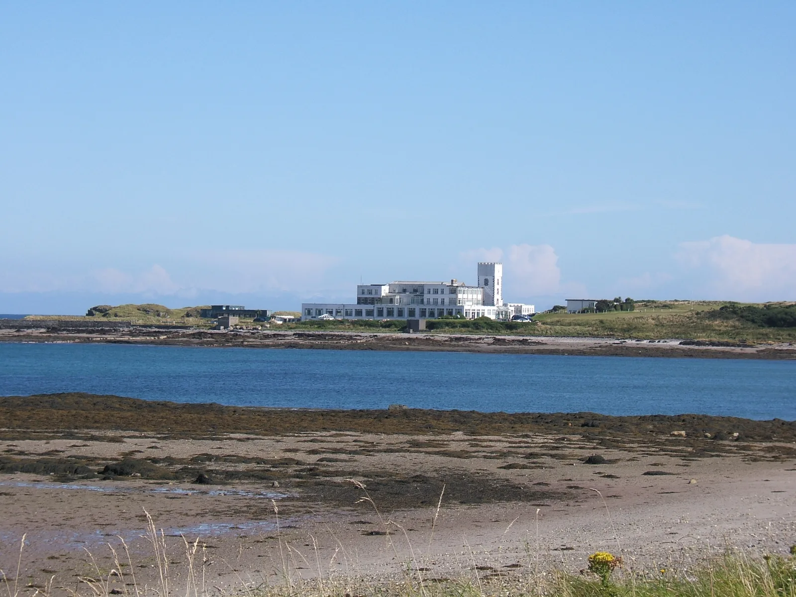
The old capital sits on the north-west side of Castletown Bay, Castle Rushen over the harbour and the Langness peninsula forming the opposite shore. Langness was an island once and is now joined to the mainland by a tombolo of sand and shale, with the hamlet of Derbyhaven on the eastern side of that neck. Its Castletown Bay side is a favourite haunt of waders, and the walk out to the 1811 Herring Tower and the 1880 lighthouse at Dreswick Point is one of the easiest good coastal walks here. Bring binoculars rather than a swimming costume.
Planning your trip
Staying overnight? Compare live prices and availability across the Isle of Man on Booking.com.
Compare Isle of Man staysWe earn a small commission if you book through this link, at no extra cost to you.
Peel, Fenella Beach and Niarbyl
Peel
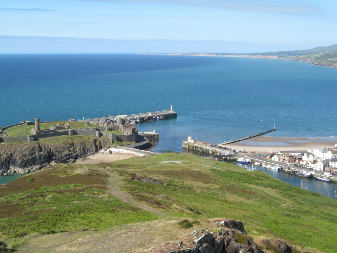
A wide sand beach backed by a Victorian promenade built on reclaimed land, with the red sandstone walls of Peel Castle closing the northern end on St Patrick's Isle. The town calls itself the sunset city and the beach is the reason: it looks due west, and on a clear evening the light on the castle is the best free thing on the island. Peel Harbour is the busiest fishing port here, so there is a working town behind the sand rather than a resort strip.
Fenella Beach
The small cove tucked in on the south side of the castle, reached from the causeway. A scrap of shore rather than a day out, but sheltered by the castle wall with the round tower directly above it, which makes it one of the most photographed corners of the island.
Niarbyl
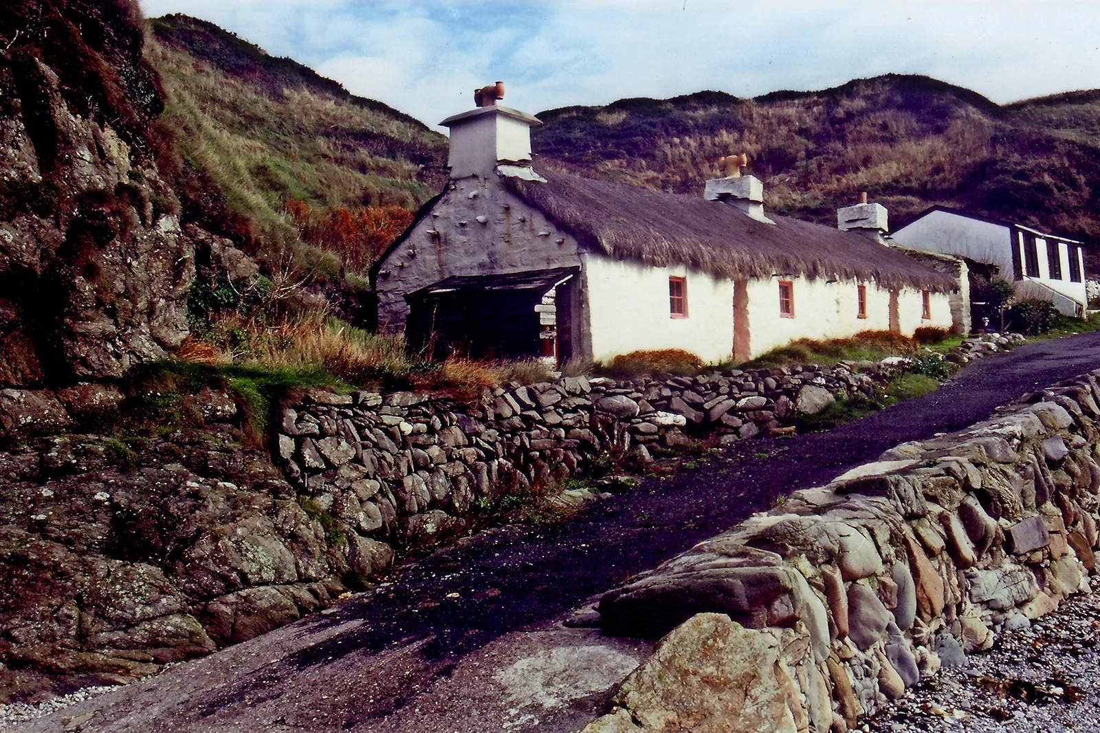
Niarbyl means "the tail", after the reef that runs out into the Irish Sea below the headland. It sits on the west coast between Port Erin and Peel, reached by a lane off the A27 at Dalby: a rocky bay with a couple of thatched fishermen's cottages, one of which stood in for Ned Devine's house in the 1998 film Waking Ned.
The geology is the quiet marvel, because the Niarbyl Fault just downhill from the café marks the join where the ancient Iapetus Ocean closed. Manx National Heritage owns the bay and currently has the café closed for refurbishment, so take a flask.
Douglas, Port Soderick and Laxey
Douglas Bay
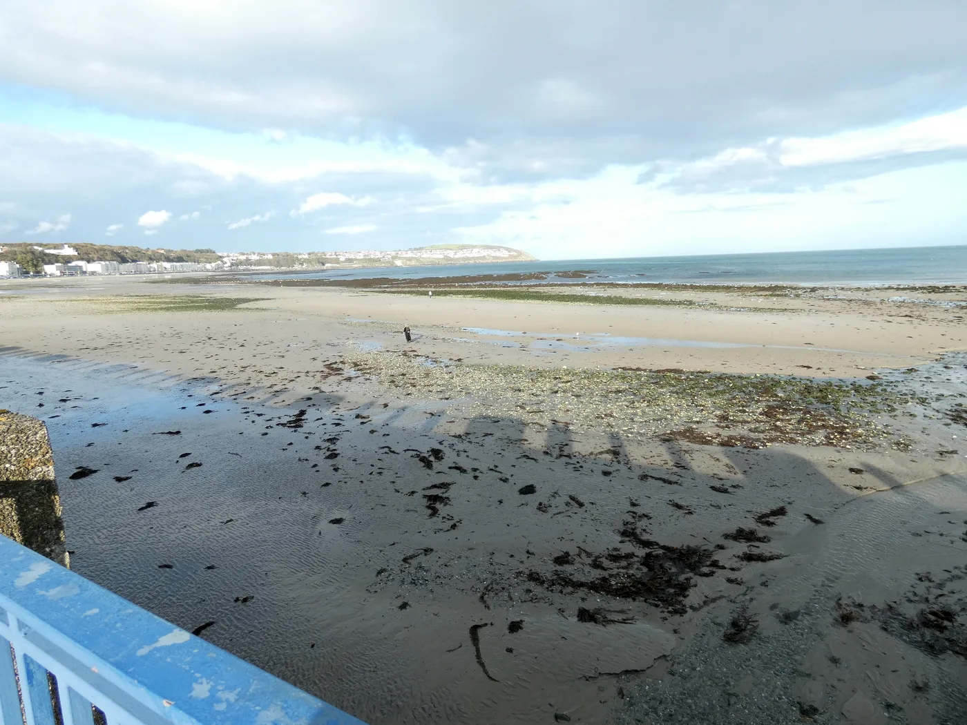
Two miles of sand in one sweeping curve, with Loch Promenade of 1878 running most of its length and Douglas Head at the southern end. The Tower of Refuge stands offshore on Conister Rock, built in 1832 at the instigation of Sir William Hillary, who founded the RNLI and lived here. Horse trams run the promenade from spring to early autumn on the oldest surviving horse tramway in the world. A city beach rather than a wild one, and pleasant on a calm morning.
Port Soderick
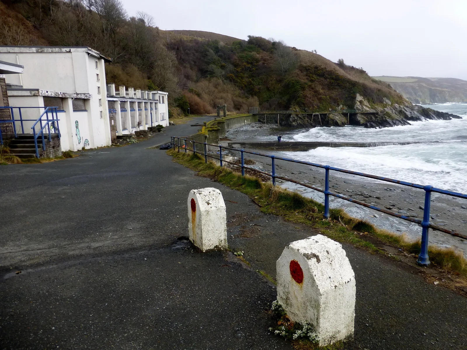
A shingle cove a few miles south of Douglas at the seaward end of Marine Drive. It was a full Victorian pleasure ground once, with a hotel, an amusement arcade, a sea lion pool and a cliff railway up to the railway station. Almost all of that is derelict and the place is close to deserted. Go for the walk in and the strangeness of it.
Laxey
Old Laxey has a small beach and promenade where the river reaches the sea beside a harbour built in the 1850s to serve the lead and silver mines. A stop rather than a destination, and the natural way to arrive is on the Manx Electric Railway from Douglas, walking down through the village.
Ramsey, the Ayres and the Point of Ayre
Ramsey and the Mooragh
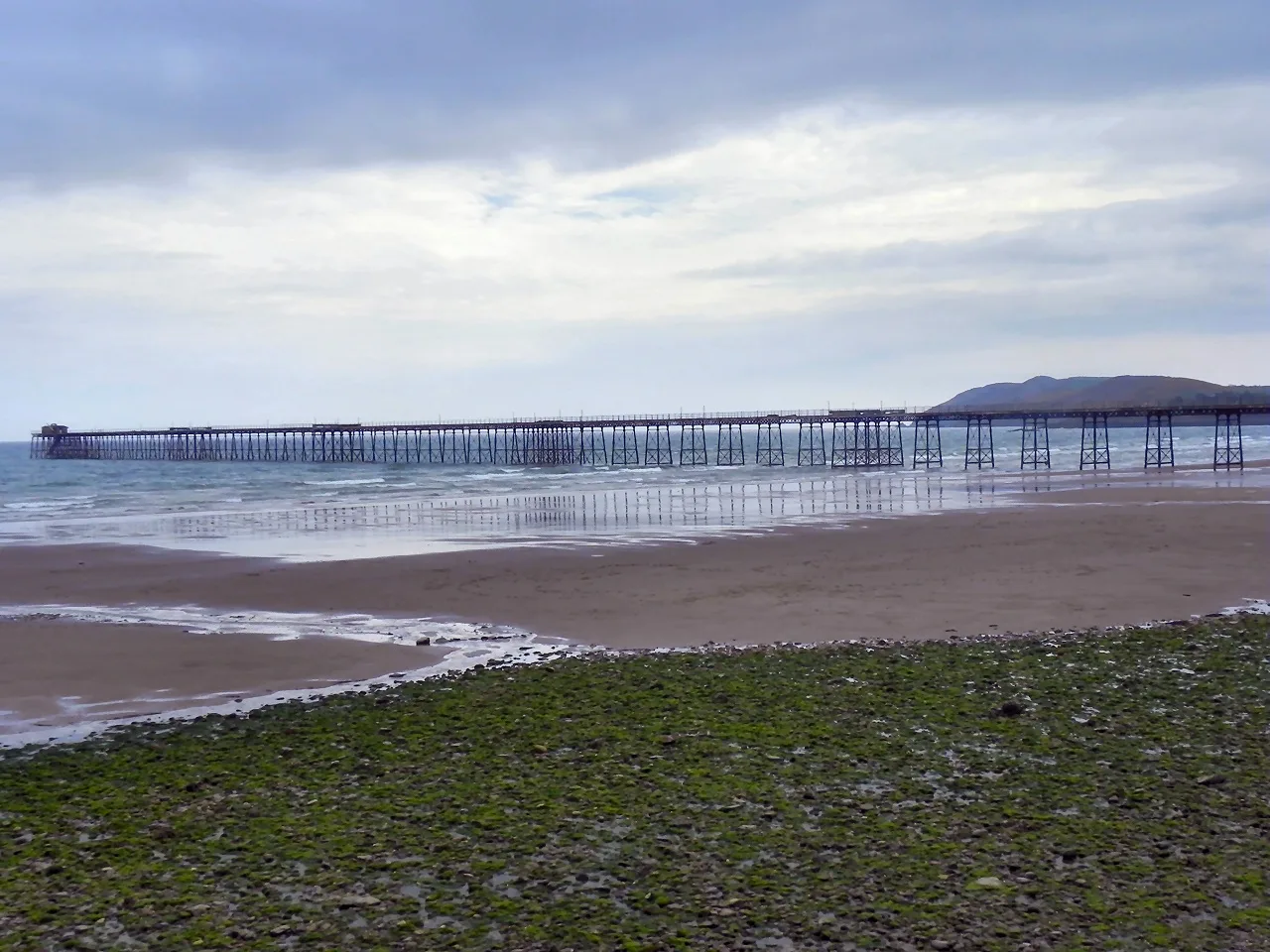
The north is where the sand goes on for miles. Ramsey has a long shore backed at its northern end by Mooragh Park, a 19th-century park built around a large boating lake, with the Northern Swimming Pool on the promenade behind and the iron Queen's Pier of 1886 reaching out into the bay. The town sits in the rain shadow of North Barrule, which makes it the sunniest part of the island with relatively low rainfall, and that alone is a reasonable basis for choosing it.
The Ayres
North-west from Ramsey the coast turns into a low, internationally important stretch of sand dune, shingle and heath. The Manx Wildlife Trust describes the Ayres as a coastline great for walking, wildflowers and birdwatching, and it is now a statutory National Nature Reserve. Note before you set out that there are significant restrictions on dogs and no fires.
The Point of Ayre
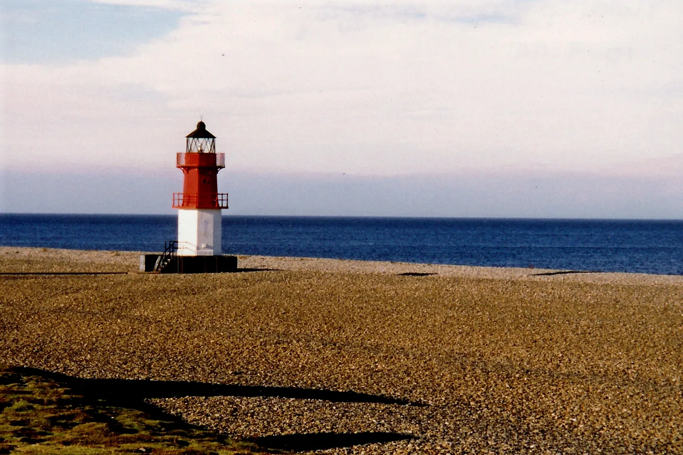
The northern tip, six miles north of Ramsey, looking north across the water towards Burrow Head in Scotland. The name comes from the Norse eyrr, a gravel bank, and that is exactly what it is. Strong currents offshore build and rebuild the shingle so the beach changes shape with each tide, and the tidal range makes it a well-known spot for fishing from the shore. Gorse and heather surround the lighthouse and merge into the dunes running south-west, grey seals use this coast, and swimming is emphatically not the point.
The Beaches, Side by Side
| Beach | Where | Sand or shingle | Best for |
|---|---|---|---|
| Port Erin | South-west corner | Sand | Swimming, families, arriving by steam train |
| Port St Mary | Next bay east, Chapel Bay | Sand | Sheltered bathing and a working harbour |
| Bay ny Carrickey | South coast at Gansey | Low rocky shore | A drive-by bay and limestone geology |
| Castletown & Derbyhaven | Either side of Langness | Sand and shale | Wading birds, an easy shore walk |
| Peel | West coast | Sand | The best sunset, and a real town behind it |
| Fenella Beach | Below Peel Castle | Small sheltered cove | Half an hour and a photograph |
| Niarbyl | West coast, off the A27 at Dalby | Rock and reef | The view and the geology, not swimming |
| Douglas Bay | East coast, the capital | Sand | A two-mile promenade walk |
| Port Soderick | South of Douglas | Shingle cove | Solitude and Victorian ruins |
| Laxey | East coast | Small beach by the harbour | A stop off the electric railway |
| Ramsey (Mooragh) | North-east | Sand | Families, the boating lake, the sunniest corner |
| The Ayres | North coast | Dune, sand and shingle | Wildlife and space; strict dog rules |
| Point of Ayre | Northern tip | Gravel and shingle | Fishing, big skies, strong currents |
Tides, Currents and Cold Water
Treat every swim here as unsupervised, because on most of this coastline it will be. Away from the four town beaches you can spend an afternoon at a bay without seeing another person. Where lifeguard cover exists at all it is a seasonal service, not a year-round one, so if it matters to you check the current position for your specific beach with the local commissioners rather than assuming it is there.
Three things deserve genuine respect:
- Currents. The Sound is the obvious one, but the Point of Ayre also has offshore currents strong enough to reshape the beach between tides.
- Tide state. Several stretches of shore, including the walk from Ramsey's Queen's Pier towards Port Lewaigue, are passable only at low water, and getting that wrong beneath a cliff is the classic Manx mistake.
- Cliffs. Much of this coast is unfenced above long drops, and the crumbling sections in the north-west are undercut at the edge.
On water temperature we are not going to quote you a number, because we hold no live figure and a wrong one is worse than none. The honest version is that this is open Irish Sea on all four sides, cold enough for a wetsuit for most people through most of the year, and it lags behind the air, so late summer and early autumn beat a hot day in June.
The Beach Rules Change From Beach to Beach
Seasonal restrictions on exercising dogs on the foreshore are written as byelaws by each town's own commissioners rather than centrally, so they differ beach by beach and get revised, as reported locally when the 2026 season's restrictions came in and again when the previous season's were lifted.
Douglas is now the exception. Since August 2026 Douglas City Council has allowed dogs on the whole of Douglas Beach all year round and at any time of day, as a trial, on condition that owners clean up after them and keep them under control, according to the council's own notice. Peel still restricts its beach from the start of April, and Port Erin, Port St Mary and Laxey from the start of May, each running through to September.
Because every town sets its own byelaws and Douglas's arrangement is explicitly a trial, check the current position for the beach you are heading to before you set off.
Our guide to bringing a dog to the island covers the wider picture, including the ferry.
Picking a Coastal Base
The choice comes down to what you want the beach for. For swimming and a self-contained family week, the south-west around Port Erin is strongest, with two sand beaches a walk apart and a railway link. For long empty sand and the best weather statistics, go north to Ramsey. For a town beach with a castle and the sunset, Peel. Douglas if you are not driving, because the buses, the railways and the sea terminal all meet there.
If you would rather join the coast up than pick one piece of it, the whole shoreline is walkable, and our guide to walking the Raad ny Foillan breaks it into stages by overnight town. Otherwise, browse places to stay near the coast and filter by town and property type.
Frequently Asked Questions
Does the Isle of Man have sandy beaches?
Yes. Port Erin, Port St Mary, Peel, Douglas and Ramsey all have proper sand, and the north coast runs for miles in dune and sand. Mixed in among them are shingle coves such as Port Soderick, rocky bays such as Niarbyl, and the gravel shore at the Point of Ayre, so the island offers a genuine range rather than one type of beach.
Which is the best beach on the Isle of Man?
Port Erin, for most people. It is a clean sand bay enclosed by two headlands, which shelters it in most winds, and it has a village, a steam railway terminus and accommodation directly behind the sand. Peel is the better choice for a town beach with a castle and a sunset, and Ramsey for long, empty sand.
Can you swim in the sea at the Isle of Man?
Yes, and people do all year. The water is open Irish Sea, so it is cold, and most swimmers use a wetsuit outside high summer. Stick to the enclosed town bays, avoid the Sound and the Point of Ayre where currents are strong, and treat every swim as unsupervised rather than assuming lifeguard cover.
Where can you see seals on the Isle of Man?
The Sound at the southern tip is the reliable spot, where seals haul out on the rocks between the island and the Calf of Man and can usually be watched from the shore. Grey seals also use the coast around the Point of Ayre in the north. Neither needs a boat, though boats do run out to the Calf from Port Erin and Port St Mary.
Which side of the Isle of Man has the best weather for the beach?
The north-east. Ramsey sits in the rain shadow of North Barrule, which makes it the sunniest part of the island with relatively low rainfall, though it can be windier than the south. More useful in practice: the four coasts face different ways, so if a westerly is spoiling Peel, drive twenty minutes east.